(Photos) Photo Gallery of Datia
Photo Gallery of Datia
Datia is the District headquarter of the Datia District. The town is 69 Km from Gwalior, 325 Km south of new Delhi and 320 Km north of Bhopal.It is an ancient town, mentioned in the mahabharata as Daityavakra. The town is a market centre for food grains and cotton products. Handloom weaving is an important industry . Datia is a famed for the seven-storied palace built by Raja Bir Singh Deo in 1614. A pilgrimage spot for devotees, Datia has the sidhapeeth of shri peetambhara Devi, Buglamukhi Devi Temple and Gopeshwar temple. About 15 Km from Datia is the Sonagiri, a scared Jain hill. Datia is 34 km from jhansi, Uttar Pradesh and 52 Km from Orchha.The nearest airport is a at Gwalior. Datia railway station is on the Delhi-Chennai main line. Peetambra peeth is a famous shaktipitha located at the entrance of Datia in Madhya Pradesh.
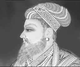
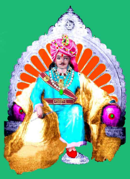
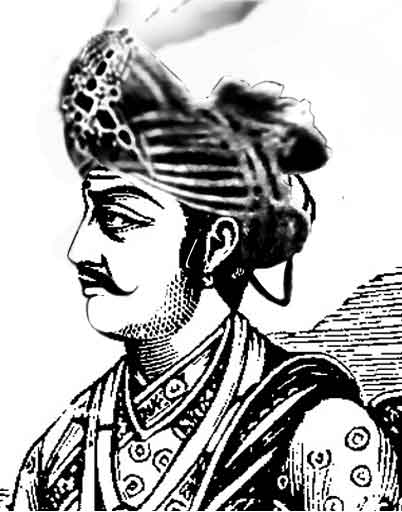
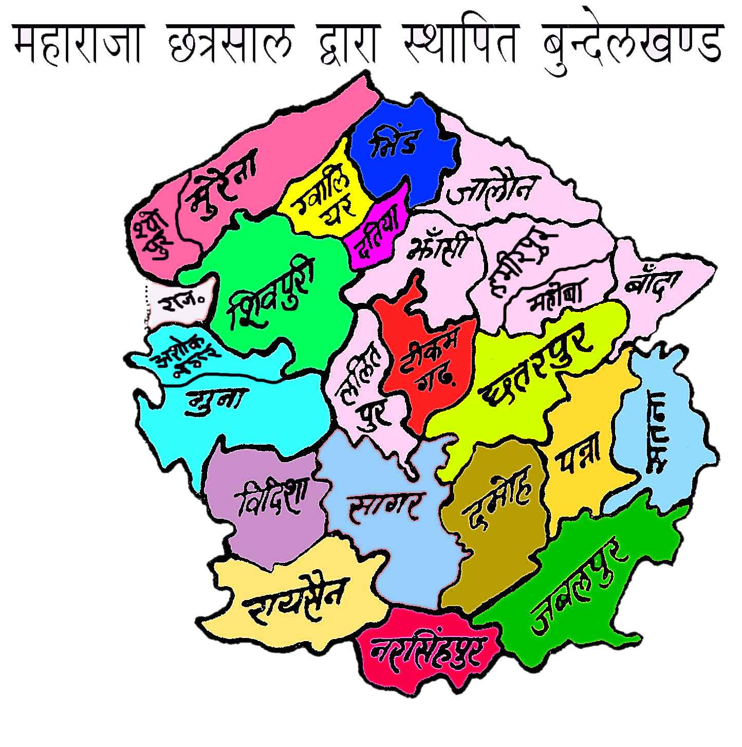
Datia had formerly been a state in the bundelkhand region.The ruling family were Rajputs of the Bundela clan; they descended from a younger son of a former raja of Orchha. The state was administered as part of the Bundelkhand agency of Central India. It lay in the extreme north-west of Bundelkhand, near Gwalior, and was surrounded on all sides by other princely states of Central India, except on the east where it bordered upon the United Provinces.
|
|
|
|
|
|
|
|

- Anonymous's blog
- Log in to post comments